Original article: Experta advierte «tormenta perfecta» por sistema frontal, marejadas y alta marea en la zona central de Chile
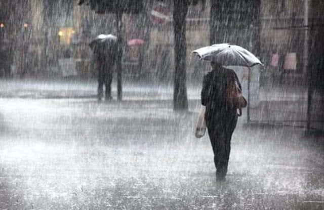
The arrival of an atmospheric river to central and northern-central Chile may create a genuine «perfect storm» due to the simultaneous occurrence of various meteorological and oceanographic phenomena impacting the region.
This warning comes from María Victoria Soto, a geographer and faculty member of the Department of Geography at the University of Chile, specializing in disaster risk management. She explained that the most complex scenario will unfold along the coast, where the frontal system will be accompanied by heavy rainfall, strong winds, swells, and a high tide associated with the lunar cycle.
This situation raises significant concerns for the Valparaíso Region, where narrow sandy beaches and numerous urban areas are situated close to the coastline. «Waves could surpass natural barriers, erode the beaches, and flood coastal areas, especially where urban settlements are very close to the shore,» she indicated.
Flood Risk in the Santiago Basin
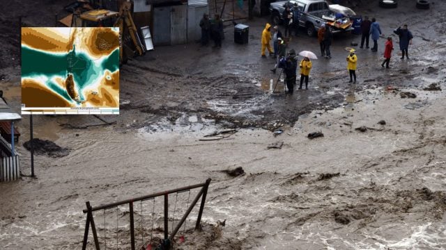
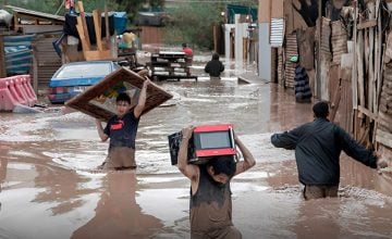
However, the impacts of the frontal system will not be confined to the coast. María Victoria Soto warned that the intense rainfall expected over several consecutive days could also reactivate flood-prone areas and basins in the Santiago valley.
Among the more vulnerable areas she identified is the Estero Lampa basin, which has seen its wide floodplain progressively diminished due to urban growth.
The academic added that municipalities such as Lampa, Batuco, Pudahuel, and low-lying parts of Colina might experience flooding due to their geomorphological characteristics.
«We are talking about old wetlands and lagoons that have been filled in and made impermeable. With rainfall of this magnitude, it is likely that these systems will behave as they originally did, leading to the rise of groundwater levels and the formation of large water bodies,» she explained.
The specialist recalled that a similar situation occurred during the heavy rains in August 2002 when extensive areas temporarily reverted to their natural condition.
For María Victoria Soto, these events should not be seen as exceptional phenomena but rather as part of Chile’s climatic variability.
«We are not facing a catastrophic or unprecedented scenario. During the mega-drought, these situations were less frequent, but we are now returning to conditions that are part of climatic variability. The important thing is to understand that these scenarios will continue to occur, and we must be prepared to face them,» she asserted.
In this regard, she emphasized that the main issue is not solely climate change or phenomena like El Niño or La Niña but decades of land planning that have inadequately considered the country’s geographical and geomorphological features.
Finally, in light of the expected conditions in the coming days, the academic called on citizens to take preventive measures and stay informed. Among her key recommendations, she emphasized checking the condition of nearby channels and streams, keeping rain drainage routes clear, and understanding municipal emergency plans.
Additionally, she recommended that residents in areas near natural waterways or historically flood-prone regions identify safe locations defined by their municipalities to act promptly in case of an emergency: «The main tool remains self-care. It is essential to know the territory where we live, identify if we are in a threat zone, and understand how to act if conditions become more challenging,» concluded the professor from the University of Chile.
We will continue to provide updates.
Obtén tu Pasaporte y apoya a El Ciudadano
Elimina la publicidad, accede a contenido exclusivo y sé parte de la comunidad.
Cancela en cualquier momento · Sin permanencia