Original article: Ante sistemas frontales: Google incorpora alertas urbanas con IA para anticipar inundaciones en Chile
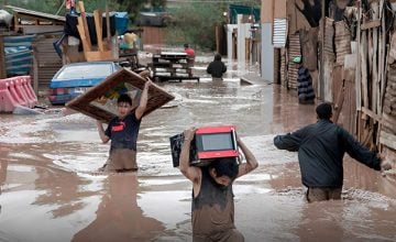
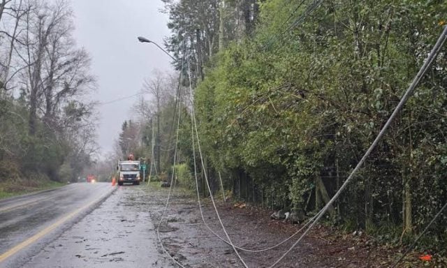
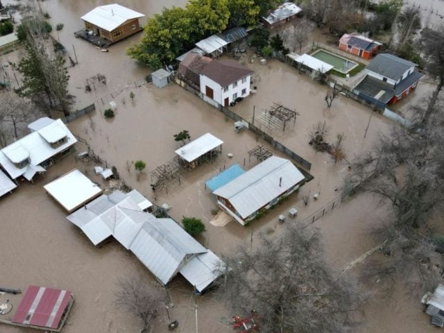
Central Chile braces for the impact of new weather fronts expected to bring intense rainfall, coastal surges, and strong winds. In this context, technology emerges as a critical ally for public safety. Google has announced an expansion of its Flood Hub platform, integrating an artificial intelligence tool designed to forecast urban flooding, providing a lead time of up to 24 hours for preventive measures.
Utilizing public information sources such as weather forecasts and satellite imagery, this system can generate alerts with a lead time of up to seven days, reaching two billion people across more than 150 nations.
Flood Hub has been available in the country since 2023 and has traditionally served as a vital resource for monitoring riverine flooding. Its operation is based on a combination of two computational models: a hydrological model that calculates the volume of water flowing through river channels and a simulation model that determines adjacent areas that may be inundated, along with the potential water depth. By using public information sources such as weather forecasts and satellite imagery, this system can create alerts with a lead time of up to seven days, protecting two billion people in over 150 countries.
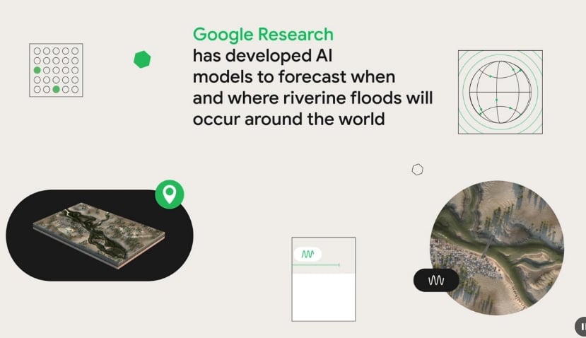
Life-Saving Accurate Forecasts
The real innovation arriving in Chile is the implementation of Groundsource, a methodology developed by Google Research that extends Flood Hub’s capabilities to urban areas. Unlike river floods, sudden urban floods are quickly evolving phenomena, often triggered by torrential rains that overwhelm drainage systems, causing streets and homes to flood within hours. To tackle this challenge, Groundsource leverages Gemini’s processing power to analyze decades of public reports and create a database that enables the identification of over 2.6 million such events worldwide, mapping their geographical range through Google Maps.
«We use this dataset to train the flash flood model, paving the way for more accurate forecasts that save lives,» stated representatives from Google.
The flash flood prediction model processes a historical sequence of seven days of past meteorological and geophysical data, along with a forecast for the next 24 hours using incoming weather predictions. This enables the model to predict the likelihood of a sudden flood occurring in a specific urban area within the next 24 hours, at a spatial resolution of 20 km x 20 km.
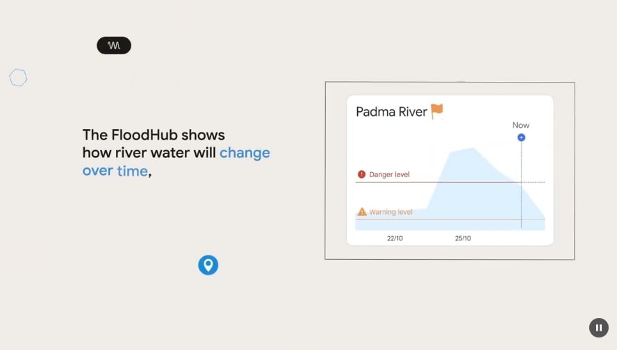
Flood Hub Alerts
The Flood Hub interface remains a visual, free, and easily accessible tool, requiring no registration, facilitating widespread usage. Upon entering the platform, users encounter a color-coded world map: green points indicate normal conditions; gray indicates a lack of data; orange signifies a warning; red indicates danger; and brown marks an extreme situation. For the new urban predictions, alerts are displayed as rectangular figures; an orange box refers to a probable flood, while a red one indicates a highly likely event. By selecting a point, the system provides a detailed forecast for the coming days and estimates the water level variation, allowing users to assess the situation and take timely action.
The introduction of this technology in Chile comes at a critical time, right before the weather fronts impact the central region. The ability to predict where and with what intensity floods will occur in urban sectors 24 hours in advance allows governments, aid organizations, and citizens to coordinate evacuations, open shelters, and protect critical infrastructure far more effectively during emergencies.
Obtén tu Pasaporte y apoya a El Ciudadano
Elimina la publicidad, accede a contenido exclusivo y sé parte de la comunidad.
Cancela en cualquier momento · Sin permanencia
Artículos Relacionados
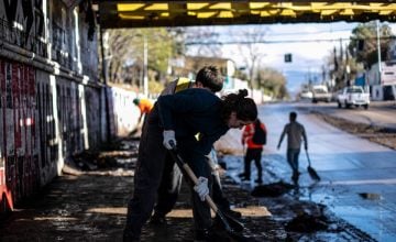
Students from FECh Clear Flooded Streets in Low-Income Neighborhoods After Severe Weather
Hace 3 meses